
30,736 people live in Los Altos, where the median age is 46 and the average individual income is $142,907. Data provided by the U.S. Census Bureau.
Total Population
Median Age
Population Density Population Density This is the number of people per square mile in a neighborhood.
Average individual Income


The seven square miles of tree-lined city Los Altos is centrally located (40 miles south of San Francisco) along the San Francisco Peninsula corridor. Los Altos real estate is loved for the area's spectacular climate as well as its charming small village atmosphere. Originally an agricultural town with many summer cottages and apricot orchards, Los Altos is now a bedroom community on the western edge of Silicon Valley that traditionally limits commercial zoning to the downtown area and small shopping strips and office parks along Foothill Expressway and El Camino Real. The population numbers 28,976 residents according to the 2010 US Census. In 1976, Apple co-founders Steve Jobs and Steve Wozniak built the first fifty Apple 1 computers in Jobs’s garage in Los Altos. LA is where Mark Zuckerberg and a few associates scaled-up Facebook from 200,000 to 2.5 million members in 2004.
Los Altos is a city in northern Santa Clara County and in the heart of Silicon Valley. The name translates from “the heights” in Spanish. Los Altos is bordered by Santa Clara County neighbors: (Los Altos Hills to the west, Palo Alto to the north and west, Mountain View to the north and east, Sunnyvale to the east, and Cupertino to the southeast). LA is intersected by three creeks that flow into the San Francisco Bay: Adobe, Permanente, and Stevens Creeks, and one of its tributaries, Hale Creek).
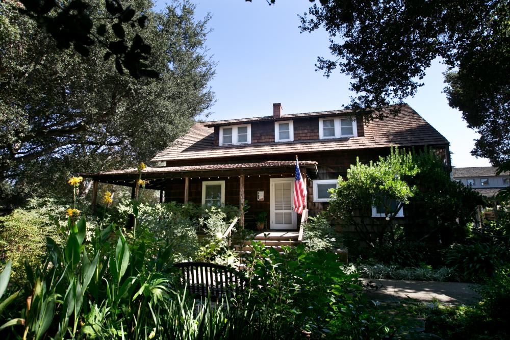
In 1906, Southern Pacific Railroad executive, Paul Shoup, and his colleagues formed Altos Land Company and started developing. They acquired 140 acres of land from heiress Sarah Winchester, as Shoup wanted to link Palo Alto and Los Gatos by making Los Altos a commuter town. In 1908, Southern Pacific Railroad began a steam train service through Los Altos running five trains a day, and in 1913, the craftsman-style Los Altos train station made its debut on First Street.
By 1949, many residents were dissatisfied with the Santa Clara County zoning policies and the threat of annexation by neighboring Palo Alto and Mountain View, so they decided to incorporate. Los Altos became the 11th city in Santa Clara County on December 1, 1952.
Los Altos has 10,756 households, with an average household size of 2.83. Data provided by the U.S. Census Bureau. Here’s what the people living in Los Altos do for work — and how long it takes them to get there. Data provided by the U.S. Census Bureau. 30,736 people call Los Altos home. The population density is 4,699.83 and the largest age group is Data provided by the U.S. Census Bureau.
Total Population
Population Density Population Density This is the number of people per square mile in a neighborhood.
Median Age
Men vs Women
Population by Age Group
0-9 Years
10-17 Years
18-24 Years
25-64 Years
65-74 Years
75+ Years
Education Level
Total Households
Average Household Size
Average individual Income
Households with Children
With Children:
Without Children:
Marital Status
Blue vs White Collar Workers
Blue Collar:
White Collar:
There's plenty to do around Los Altos, including shopping, dining, nightlife, parks, and more. Data provided by Walk Score and Yelp.
Explore popular things to do in the area, including Tamayo's Judo, Golden Eagle Summer Sports Camp, and Michelle Rim.
| Name | Category | Distance | Reviews |
Ratings by
Yelp
|
|---|---|---|---|---|
| Active | 4.86 miles | 10 reviews | 5/5 stars | |
| Active | 3.34 miles | 6 reviews | 5/5 stars | |
| Beauty | 1.33 miles | 7 reviews | 5/5 stars | |
| Beauty | 1.35 miles | 5 reviews | 5/5 stars | |
| Beauty | 3.6 miles | 58 reviews | 5/5 stars | |
| Beauty | 4.92 miles | 32 reviews | 5/5 stars | |
| Beauty | 4.84 miles | 10 reviews | 5/5 stars | |
| Beauty | 1.27 miles | 44 reviews | 5/5 stars | |
| Beauty | 3.55 miles | 8 reviews | 5/5 stars | |
|
|
||||
|
|
||||
|
|
||||
|
|
||||
|
|
||||
|
|
Discover homes and properties for sale in the area!
Marc has been responsible for more than $900M in transactional and joint venture revenue since he began his real estate career in New York City in 1998. Work-Play-Live-Invest! Contact him today.
Let's Connect