7,021 people live in Atherton, where the median age is 49 and the average individual income is $203,138. Data provided by the U.S. Census Bureau.
Total Population
Median Age
Population Density Population Density This is the number of people per square mile in a neighborhood.
Average individual Income
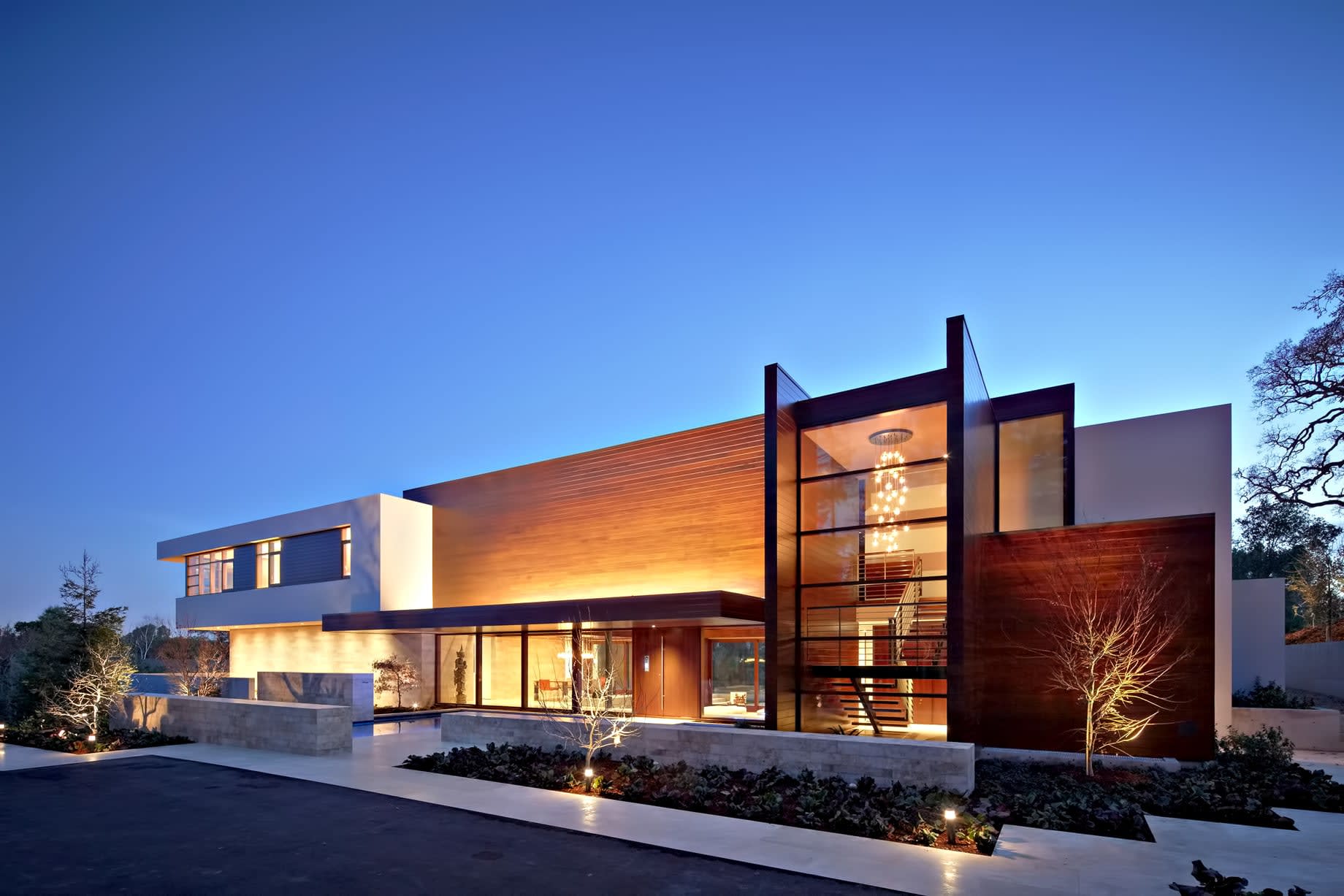
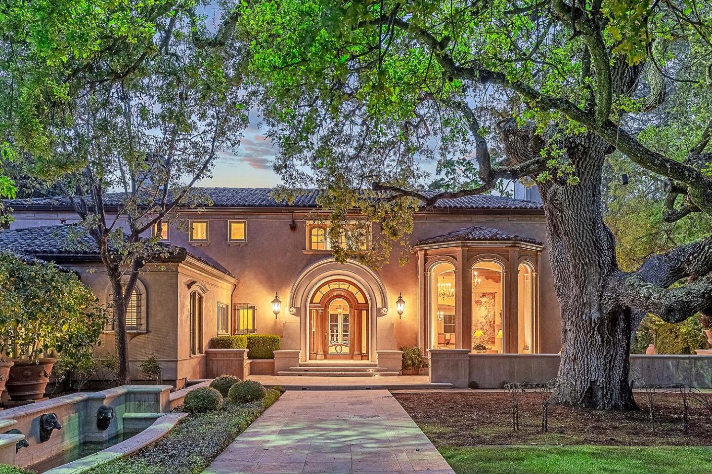
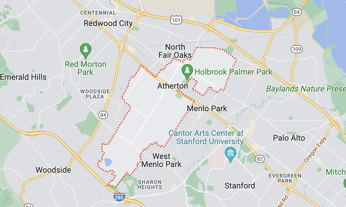
Atherton is an incorporated town in San Mateo County surrounded by SMC neighbors (Menlo Park, Woodside, Redwood City, and unincorporated county lands) with a 2010 US Census population of 6,914. In 2018, the number of residents neared 7200. Atherton is well known for its wealth and is regularly ranked as the most expensive ZIP code (94027) in which to live in the United States. Atherton was recently ranked as having the highest per capita income among US towns with a population between 2,500 and 9,999. The mostly large flat lots, wooded surroundings, and absence of a commercial district make Atherton attract many national and international corporate titans who call it home and who have come to enjoy Atherton, CA's real estate options.
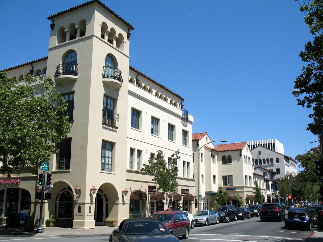
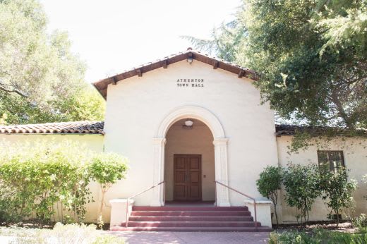
In 1923 when Menlo Park wished to incorporate its lands so to include Fair Oaks, it became clear to land-owners there that in order to remain a strictly residential community, they would have to incorporate separately. Atherton was incorporated in 1923, as was the Menlo Polo Club (now the Menlo Circus Club). Faxon Dean Atherton, who had been one of the first property owners on the south peninsula, was honored with the town name. A native of Massachusetts, Atherton had spent several years in Chile and Hawaii as a trader in hides and merchandise. In 1860, his friend and business associate, Thomas Lark, wrote to him that “there is education available for your children and dignity of living on landed estates down the San Francisco Peninsula (that is) convenient and accessible.” His eventual home, “Valparaiso Park”, was built several years later on some of the 640 acres he had purchased. Atherton’s first mayor was Edward E. Eyre, and those early residents wanted a town that would be divided into large parcels and not contain businesses.
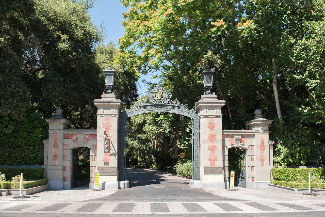
Former San Francisco mayor and successful businessman, Thomas H. Selby, purchased 420 acres and called his estate “Almendral”. Attorney John T. Doyle built his home “Ringwood” off of Middlefield road, and James C. Flood purchased successive parcels and built an extravagant mansion he named “Linden Towers”, which is now known as Lindenwood. The James A. Donohoe estate “Holmgrove” is now the site of Menlo-Atherton Highschool.
Many of the larger estates were later subdivided into one acre parcels, marking the end of an era. Atherton is very much still a “plain of oaks” with native live oaks, white oaks, bays, redwoods, cedars, pines and other ornamental trees covering the six square miles of town.
Atherton has 2,266 households, with an average household size of 2.81. Data provided by the U.S. Census Bureau. Here’s what the people living in Atherton do for work — and how long it takes them to get there. Data provided by the U.S. Census Bureau. 7,021 people call Atherton home. The population density is 1,400 and the largest age group is Data provided by the U.S. Census Bureau.
Total Population
Population Density Population Density This is the number of people per square mile in a neighborhood.
Median Age
Men vs Women
Population by Age Group
0-9 Years
10-17 Years
18-24 Years
25-64 Years
65-74 Years
75+ Years
Education Level
Total Households
Average Household Size
Average individual Income
Households with Children
With Children:
Without Children:
Marital Status
Blue vs White Collar Workers
Blue Collar:
White Collar:
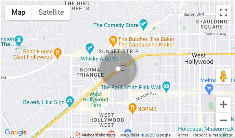
There's plenty to do around Atherton, including shopping, dining, nightlife, parks, and more. Data provided by Walk Score and Yelp.
Explore popular things to do in the area, including Euro School Of Tennis, Write With Janet, and MPA Karate.
| Name | Category | Distance | Reviews |
Ratings by
Yelp
|
|---|---|---|---|---|
| Active | 4.78 miles | 5 reviews | 5/5 stars | |
| Active | 2.87 miles | 17 reviews | 5/5 stars | |
| Active | 0.99 miles | 5 reviews | 5/5 stars | |
| Active | 3.6 miles | 5 reviews | 5/5 stars | |
| Active | 2.91 miles | 14 reviews | 5/5 stars | |
| Active | 1.77 miles | 8 reviews | 5/5 stars | |
| Beauty | 0.96 miles | 6 reviews | 5/5 stars | |
| Beauty | 3.95 miles | 5 reviews | 5/5 stars | |
| Beauty | 2.73 miles | 14 reviews | 5/5 stars | |
|
|
||||
|
|
||||
|
|
||||
|
|
||||
|
|
||||
|
|
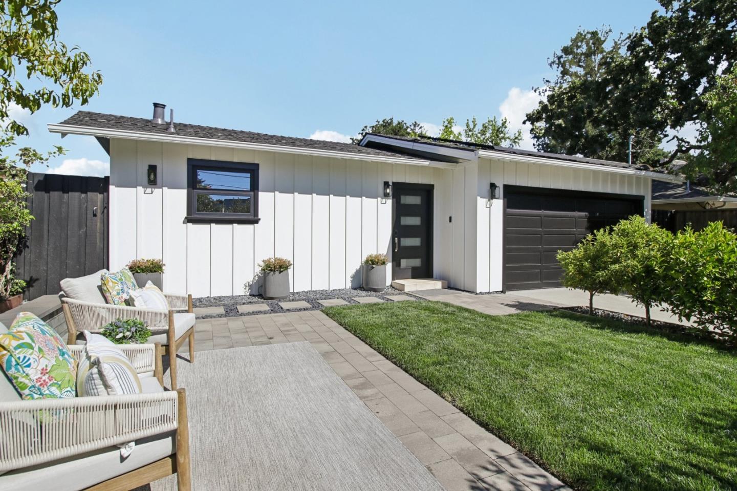
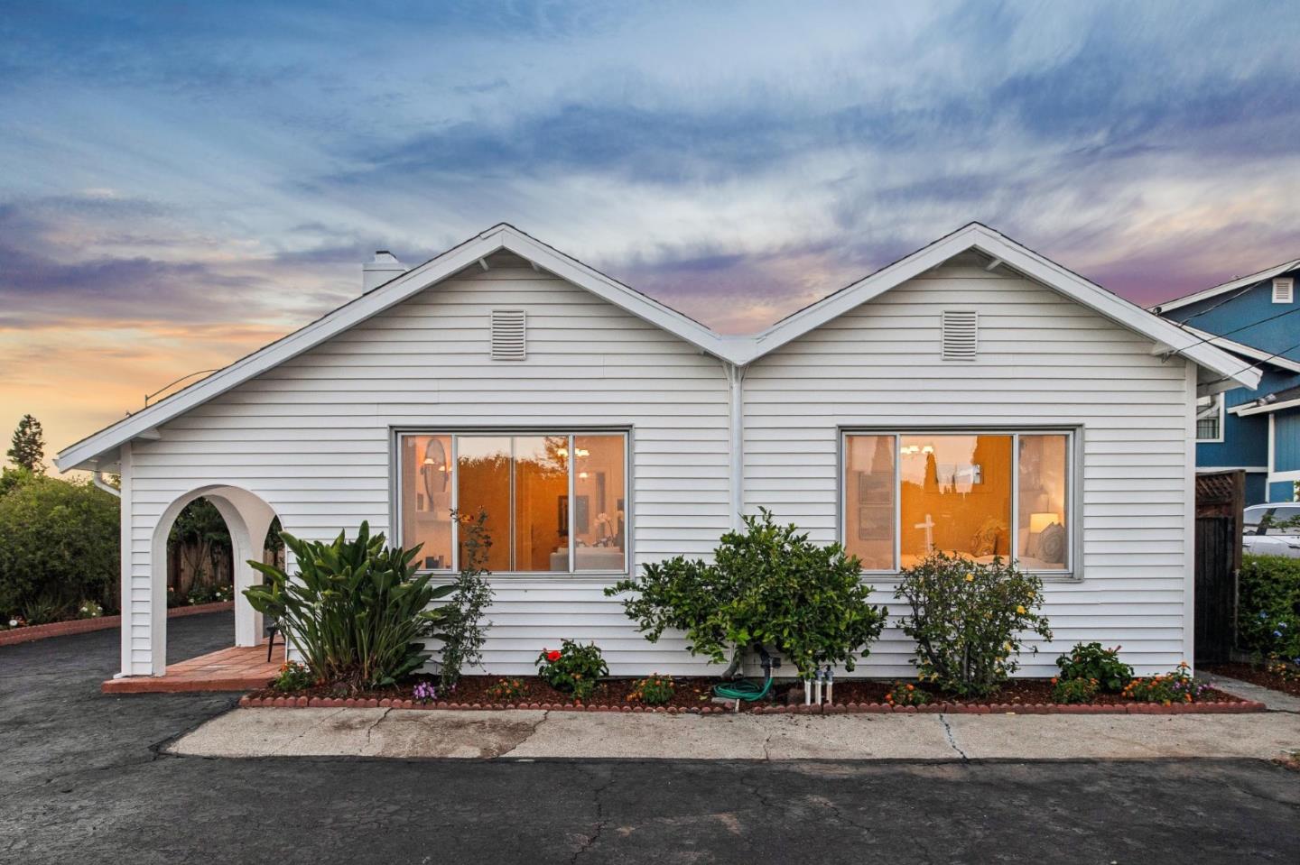
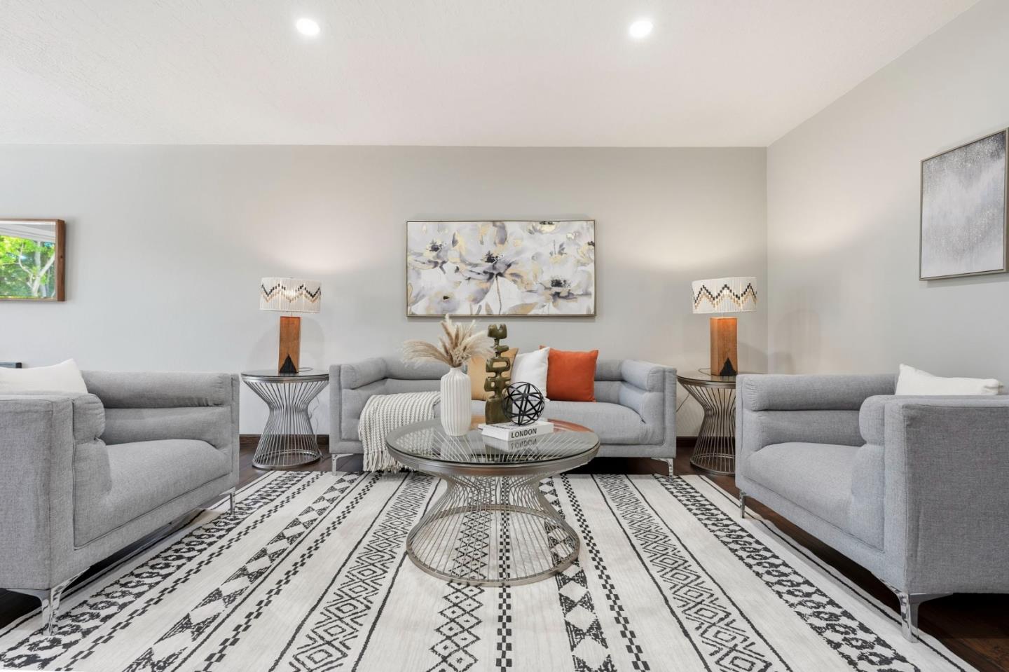
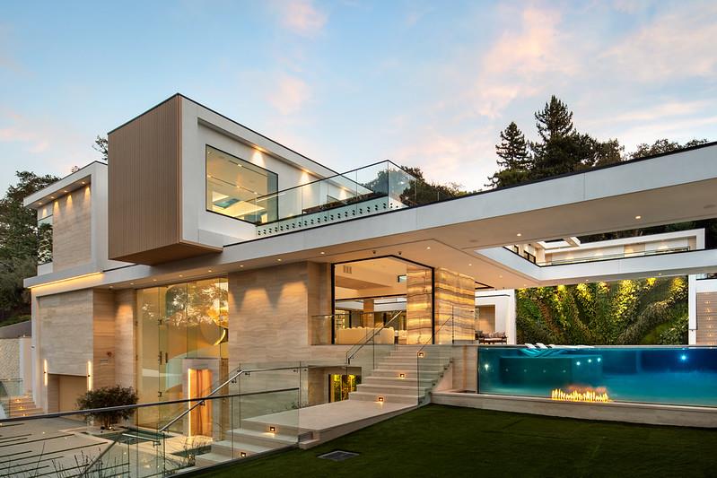
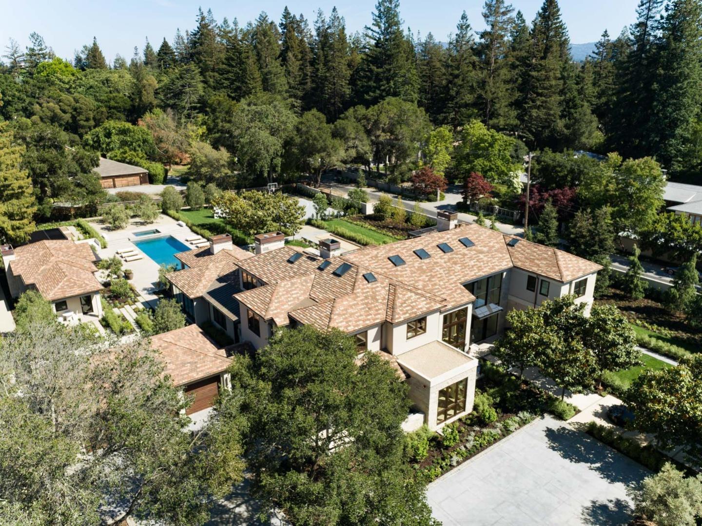
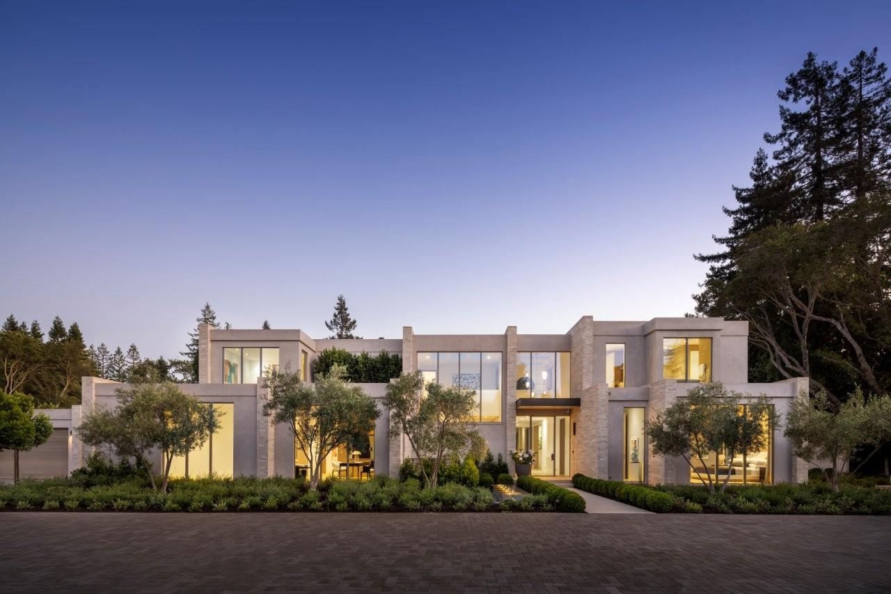
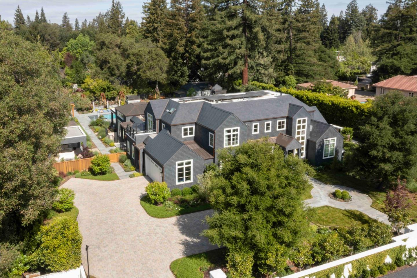
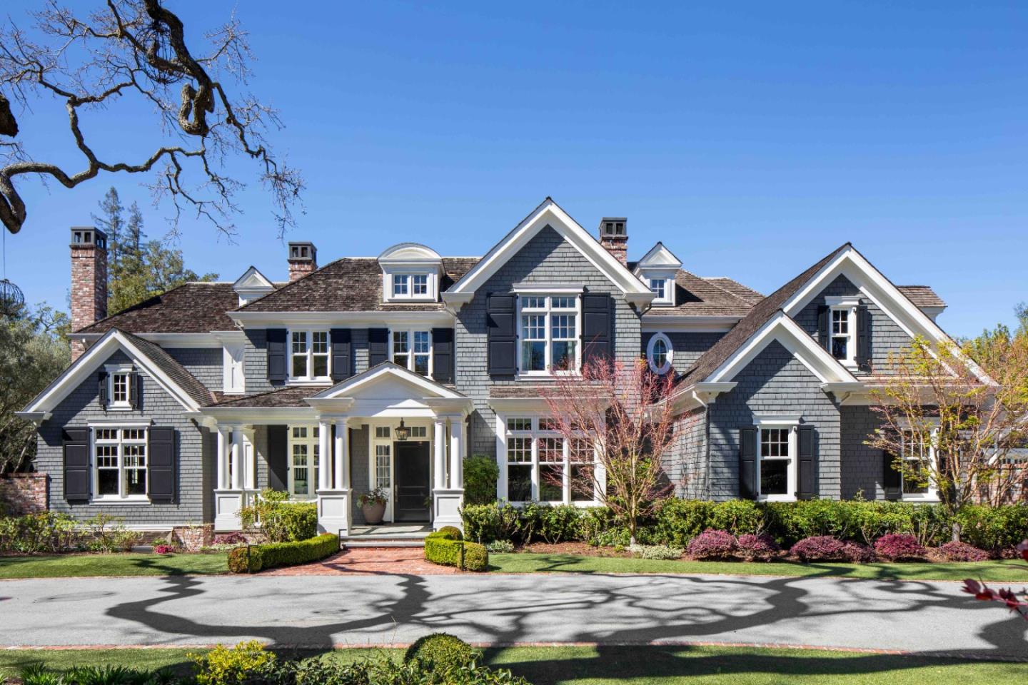
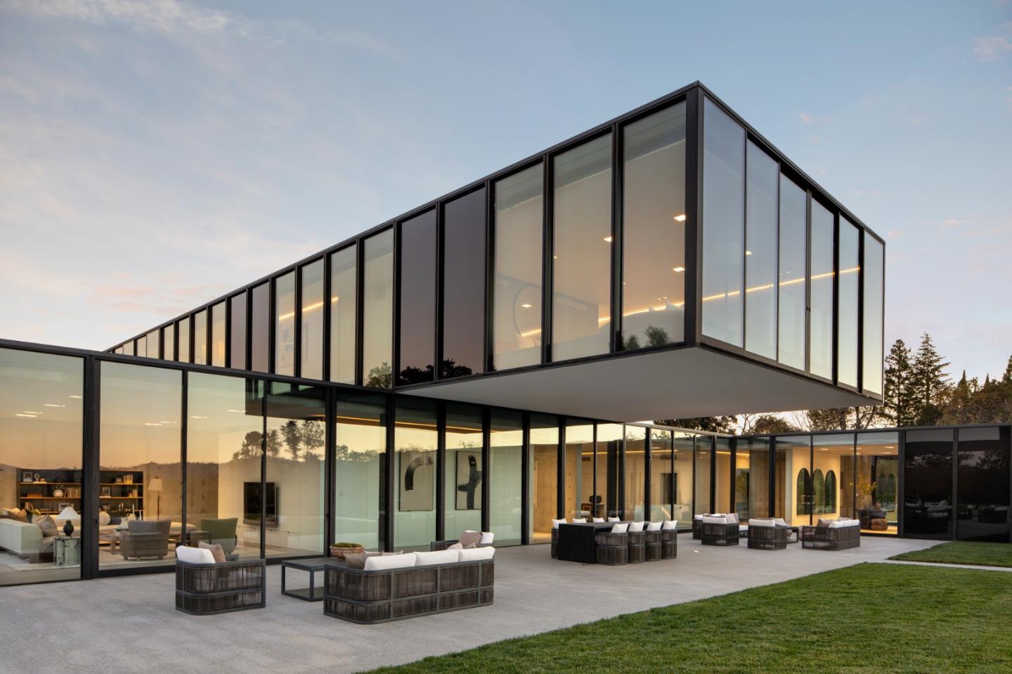
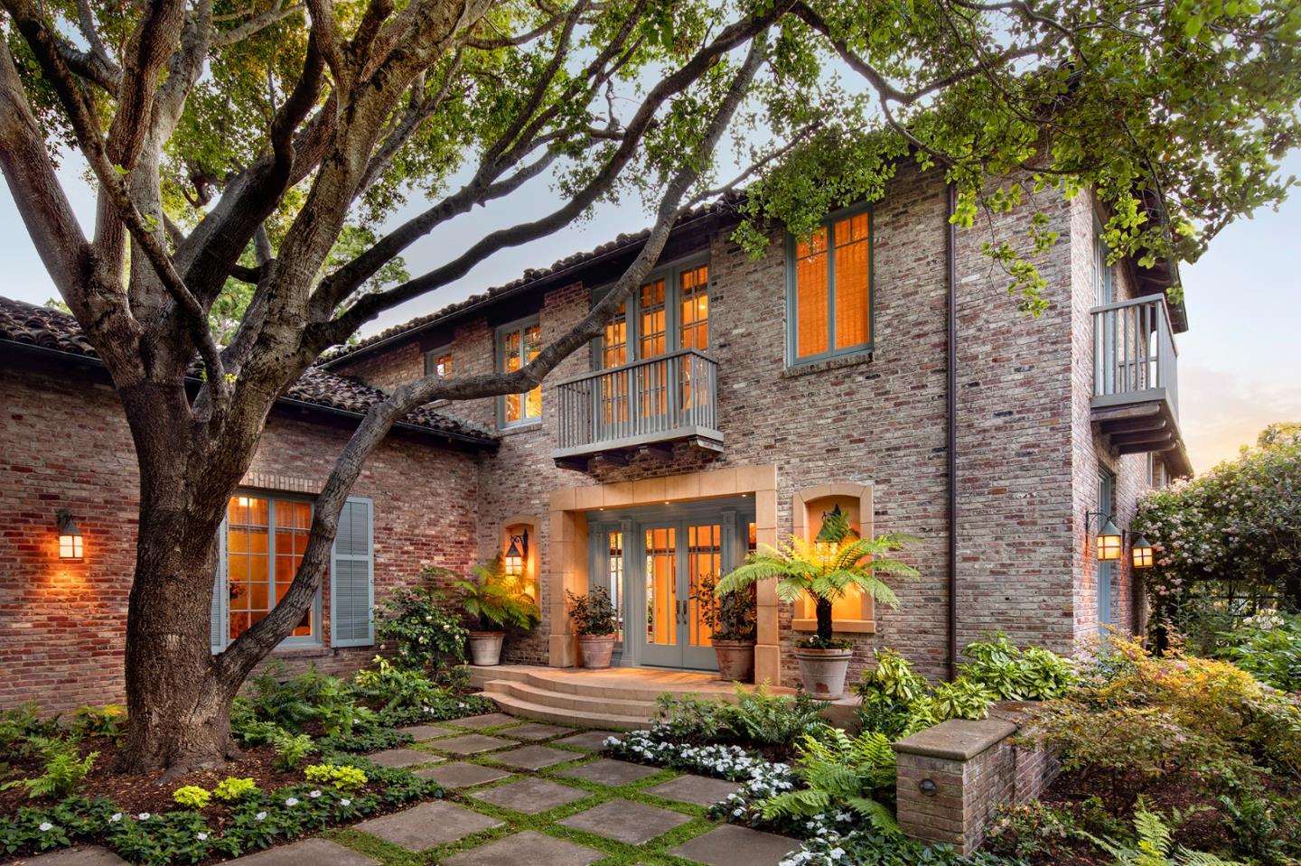
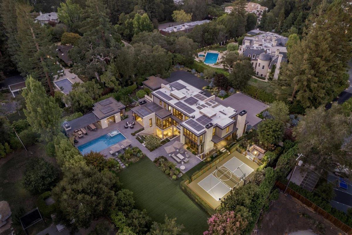
Discover homes and properties for sale in the area!
Take a look at the properties for sale in this neighborhood.

4 Beds | 3 Baths | 2,895 Sq.Ft.

4 Beds | 3 Baths | 2,895 Sq.Ft.
Marc has been responsible for more than $900M in transactional and joint venture revenue since he began his real estate career in New York City in 1998. Work-Play-Live-Invest! Contact him today.
Let's ConnectCompass
1377 El Camino Real
Menlo Park, CA 94025